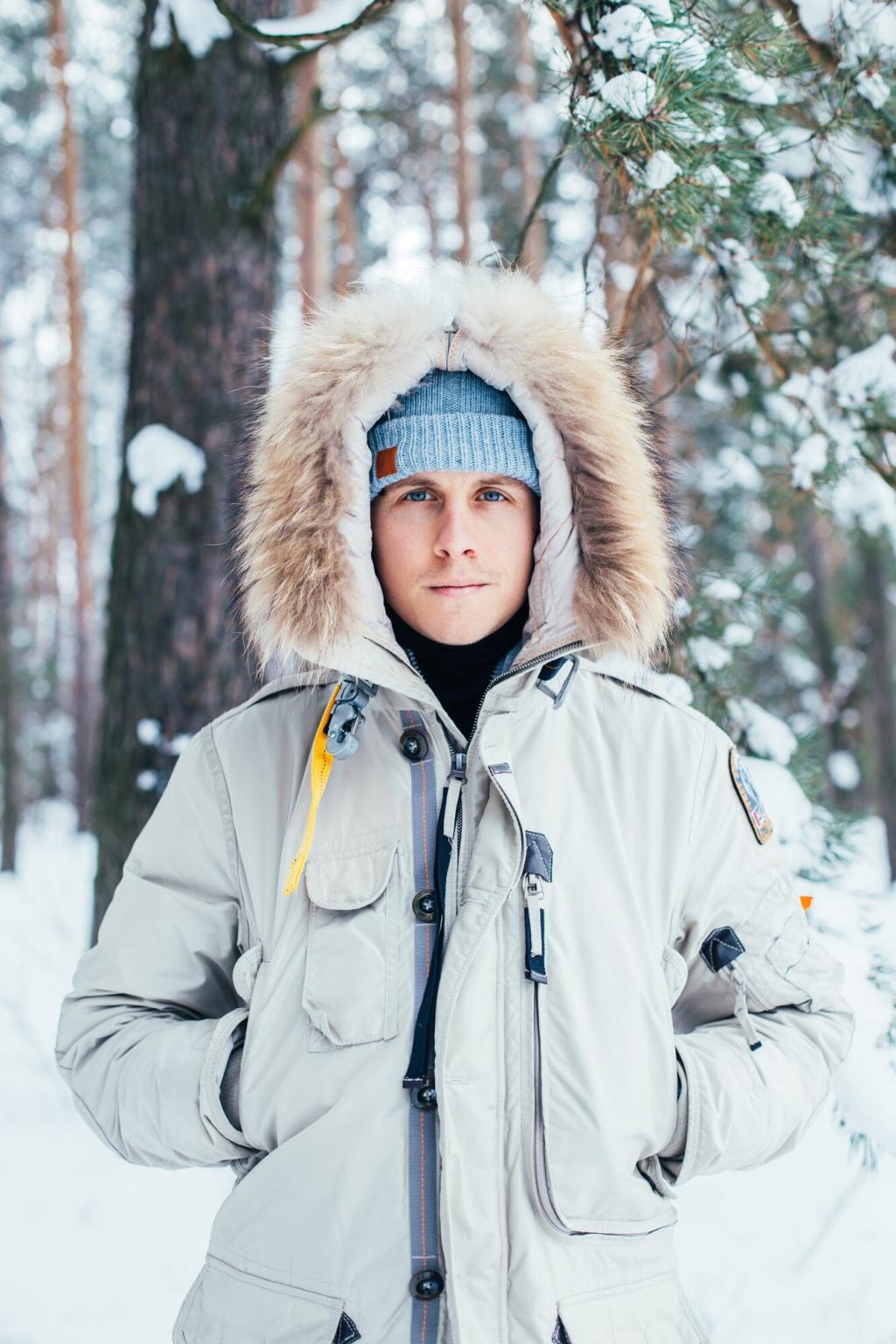
Chosen theme: Must-Have Navigation Tools for Snowy Trails. Step into the hush of winter and stay found, confident, and curious with a toolkit that turns whiteout riddles into clear decisions. Subscribe for weekly winter nav wisdom and share your go-to tools with our community.
Snow blurs features, but contour lines whisper truth. Emphasize slope angle shading, draw hand rails along ridges, and sketch likely wind-loaded aspects. Share your favorite map annotations that kept you out of cornice country.
Map and Compass: Winter’s Unfailing Backbone
Recalibrate magnetic declination before you go, then stick to bearings using attack points and catching features. In whiteouts, walk a careful line with pacing beads, and tell us how you track distance with mittens on.
GPS and GNSS: Precision That Survives the Cold
Dual-frequency GNSS (L1/L5) reduces multipath errors near cliffs and trees. Preload offline maps, set track logging intervals, and lock the screen. What satellite profiles do you favor when dense snow-laden canopy blocks the sky?
Pack lightweight wands to stake temporary routes across featureless lakes or flats. They guide group spacing and serve as visual bearings. Have you ever recovered a camp in a snow globe of swirling gray thanks to simple markers?
Set a compass bearing, then send a partner forward as a human target so you hold a straight line. Rotate roles to manage fatigue. Share your best signals for keeping formation in low contrast.
Calibrate at trailheads or known saddles, then cross-check altitude with contour expectations. An altimeter can confirm a hidden spur ridge. Tell us how often you recalibrate during storm cycles to stay precise.
Smart Waypoint Naming
Use short, meaningful codes: SAFE1, AVOID-SLOPE38, CAMP-LEEW, WATER-HOLE. Add notes on aspect and tree cover. What naming system helps you make decisions fast with cold hands and colder brains?
Bailouts and Terrain Traps
Pre-plot low-angle forested exits and river benches that avoid gullies. Mark no-go zones where terrain funnels wind slabs. Share one time a preloaded bailout route turned a sketchy day into a calm walkout.
Group Nav Protocols
Assign roles: lead navigator, scribe, and rear checker. Sync waypoints across devices before departure. How does your team confirm decisions when visibility drops and the clock races darkness?
Power and Protection: Keeping Tools Alive in Subzero
Lithium cells outperform alkaline below freezing and weigh less. Carry spares in an inner pocket and rotate often. What brand and size have proven reliable for you during multi-day cold snaps?